
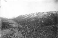
21. Ute Pass & Pikes Peak range - Fountain Creek in the central foreground is zigzagging northwestward across Ute Pass to junction with French Creek, Cascade is right center and above Cascade Station is the wagon road to Pikes Peak. [XXII-2]
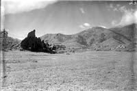
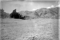
23. Similar to #11,12 - Red Rock Canyon.
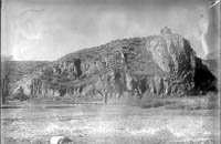
25. Ridge west of Colorado City, Colorado Midland yards, a short distance west of the Standard Mill (Fountain formation). [II]
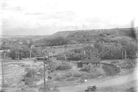
26. Street car station - Balanced Rock - mouth of Sutherland Creek looking southeastward across Fountain Creek. [VII]
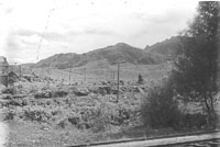
27. Looking south from 26 - Balanced Rock Street car station.
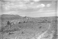
28. North to Garden of the Gods from above Red Rock Canyon.

29. Pikes Peak from Colorado City.
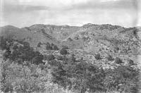
30. North of Iron Springs Station looking northeast towards Cave of the Winds. [XIII-2]
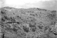
31. Ravine between tunnels 3 & 4 of the Colorado Midland Railway - Ute Pass. [XIV]
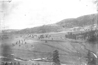
32. Ute Pass.
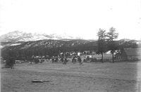
34. Pikes Peak from Woodland Park.
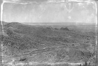
*35. Panorama of east Manitou from Iron Mountain.
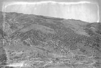
*36. Panorama from Iron Mountain, 1/4 mile south of Manitou (Ute Pass around to the right to beyond Williams Canyon). [IX]
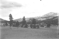
*37. Pikes Peak from Woodland Park.
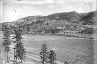
38. Upper Ute Pass - Deep sheet of Hayden gravel - top of Rampart Range [XXXIV]
39. Canyon wall - Grand Canyon of the Arkansas.
40. Grand Canyon of the Arkansas.
